


2024 06 09 Montrichard

chlafaille
Utilisateur

Longueur
14,5 km

Altitude max
141 m

Dénivelé positif
214 m
Km-Effort
17,4 km

Altitude min
57 m

Dénivelé négatif
213 m
Boucle
Oui
Date de création :
2024-06-09 10:51:43.091
Dernière modification :
2024-06-09 14:08:58.954
3h16
Difficulté : Moyen

Application GPS de randonnée GRATUITE
 SityTrail
IGN / Instituts géographiques
SityTrail Plus
Le monde est à vous
À propos
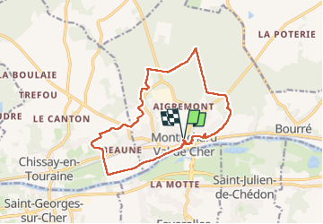
Randonnée Marche de 14,5 km à découvrir à Centre-Val de Loire, Loir-et-Cher, Montrichard Val de Cher. Cette randonnée est proposée par chlafaille.
Localisation
Pays :
France
Région :
Centre-Val de Loire
Département/Province :
Loir-et-Cher
Commune :
Montrichard Val de Cher
Localité :
Unknown
Départ:(Dec)
Départ:(UTM)
362862 ; 5245066 (31T) N.
Commentaires